
1 A river on the Border
By Clemente Álvarez y Nacho Corbella
Rivers normally flow out to the sea, but the Colorado dies at a border. In this world, this is an entirely exceptional case. In order to see the most Hispanic of rivers in the United States one has to go to the Morelos Dam, in the desert lands of Baja California, in Mexico. Today, this is where the great Colorado ends, confronted by 20 red floodgates, all of them closed. This is the first stop along the route followed by Univision Planeta through two countries and seven states (Baja California, Sonora, Arizona, California, Nevada, Utah and Colorado) going upstream along a river that, year after year, appears on the list of most endangered rivers in the United States.
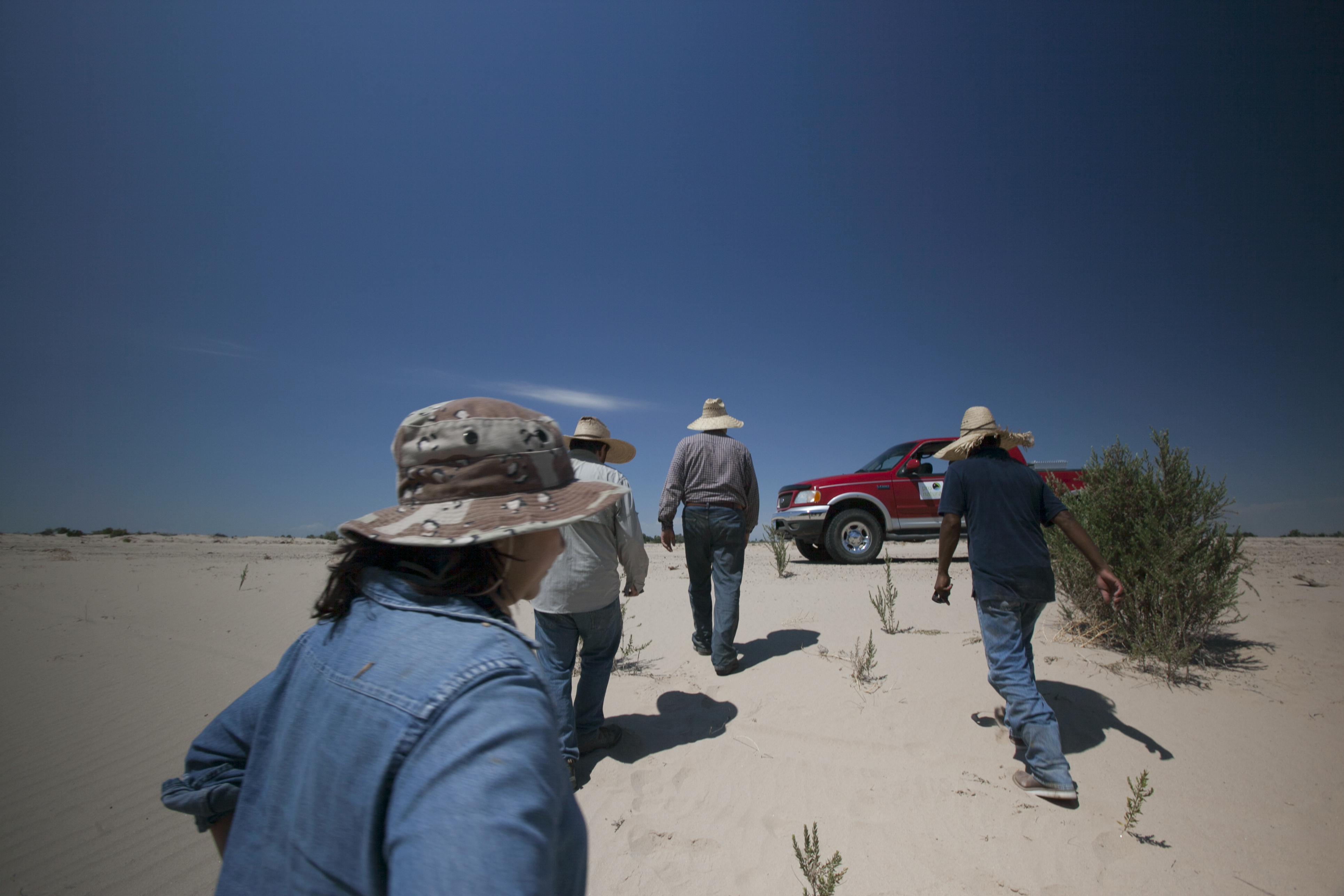
Even though books say that its main course has a length of 1,450 miles, starting in the Rocky Mountains, in the U.S., and ending in the Gulf of California, in Mexico, the fact remains that it falls short of reaching its endpoint by 100 miles. Somewhere around there, at a taco and burrito street stand in the border town of Los Algodones, we meet up with Osvel Hinojosa, the Mexican biologist, with whom we will set out in search of the water.
The river does not reach the sea because all its water has been distributed beforehand. “They forgot to leave something for nature,” comments Hinojosa, who is leaving his footprints in the sand of the dry riverbed.
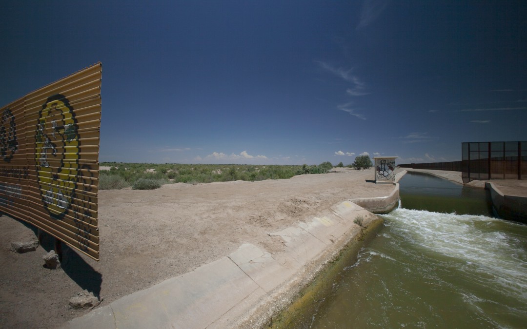
Along the way, this water has made an occasional tourist scream with excitement along the rapids of the Grand Canyon, it has gone in and out of the body of a gambler suffering from a hangover in Las Vegas or has drained from one of the many agricultural fields where Hispanic immigrants earn a living. Until the Colorado crosses the border with Mexico and reaches Morelos Dam, the last of 14 dams along its main channel, aside from hundreds more along secondary streams that drain into its basin. This is where the United States surrenders to this country its share of the river, in accordance with the U.S. – Mexico Water Treaty of 1944. ”The exact amount agreed upon arrives,” comments Hinojosa, Director of Water and Wetlands at the Pronatura Noroeste conservation organization. “Along the Colorado, every drop of water has an owner.”
The river does not reach the sea because all its water has been distributed beforehand. Inside the United States it is first distributed among Colorado, New Mexico, Utah, Wyoming, Nevada, Arizona and Southern California; territories that have having an average Hispanic population of 26.4%. Mexico’s share is 1.4 million acre-feet* of water (equivalent to 92 million tanker trucks) which, upon its arrival in Morelos, is totally diverted into a concrete-lined channel in order to water the agricultural fields of Baja California and Sonora, in addition to providing drinking water to cities such as Mexicali or Tijuana. There is nothing left over for the river itself. “They forgot to leave something for nature,” comments Hinojosa, who is leaving his footprints in the sand of the dry riverbed, on the other side of the Morelos floodgates.
Following the Colorado River’s water is like going into a plumbing labyrinth. This water travels much further than the 1,350 miles of the river’s main course, going several times in and out of a complex system of dams, pipelines, channels, underground percolation systems… Much like what happens to many immigrants who crossed the border headed north, every drop of water is made to work hard, up to the point where the river has none left.
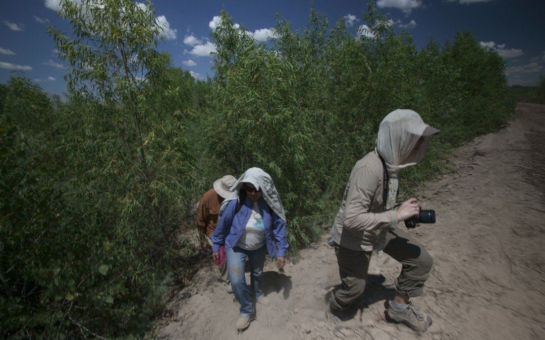
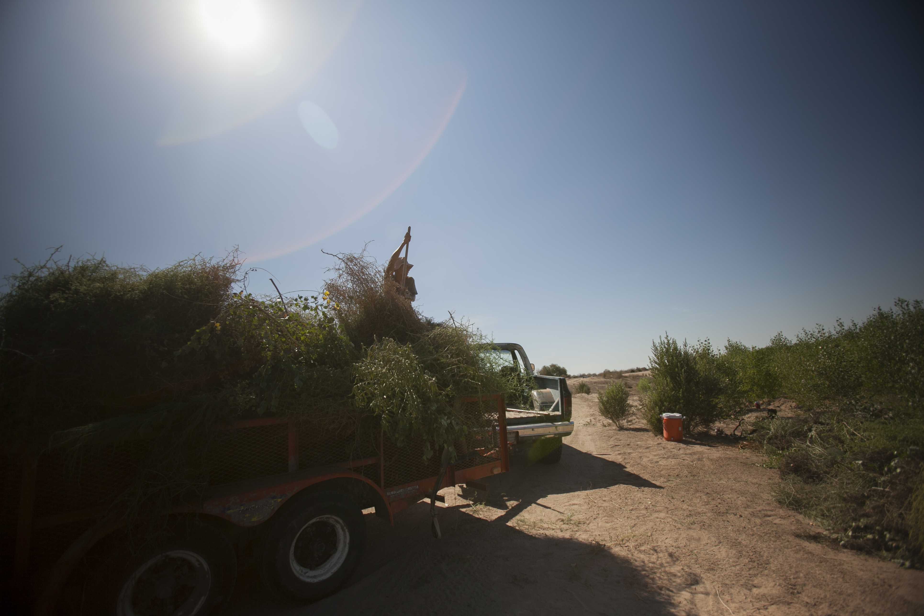
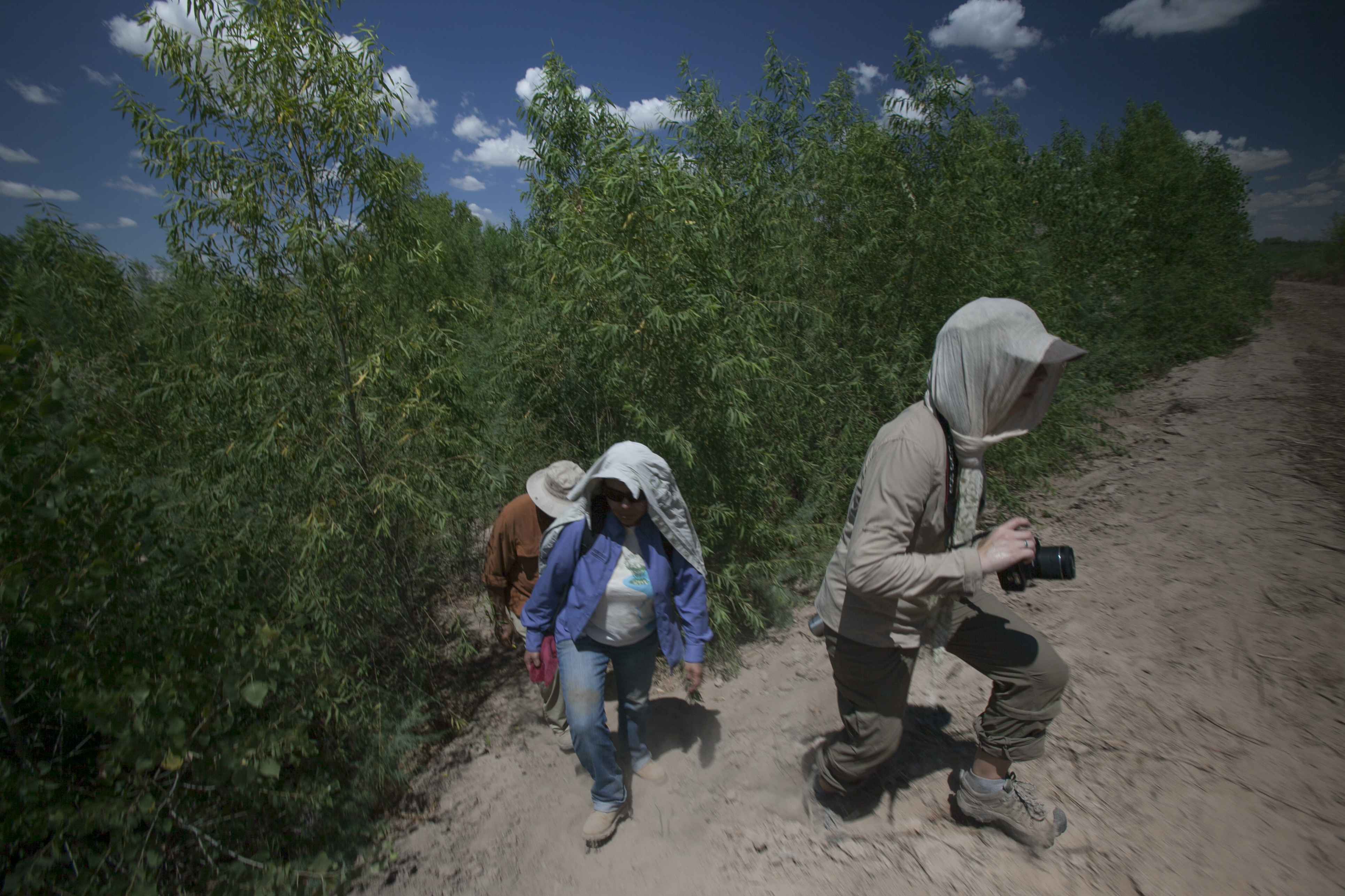
The next time we see the water emerge is at the end of some irrigation pipes at a cottonwood and willow plantation in the restoration area of Colonia Miguel Alemán, near San Luis de Río Colorado. “This section used to be a meander, the river flowed through here and we would come to fish,” says Héctor Patiño, at the lead of a crew of women who are removing some dusty soil at the same site, under the fiery heat of the summer sun.
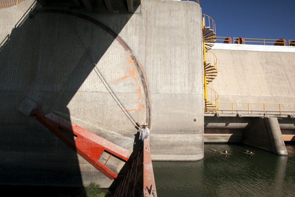
Osvel Hinojosa sitting on a floodgate in the Morelos dam: to his left the river with water, to his right the dry river bed.
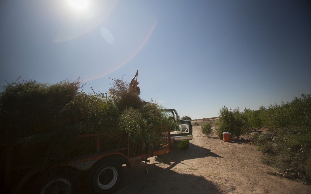
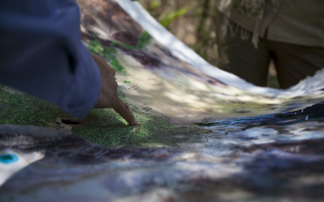
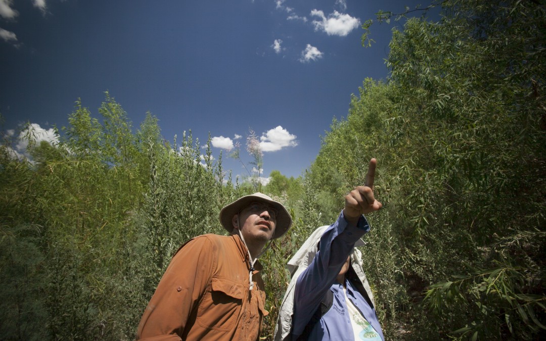
This is one of the areas that have been reforested by different organizations from both countries, such as Pronatura, Sonoran Institute or Environmental Defense Fund, in an attempt to reclaim the old flood plain of the river on its way to the Delta. Holding in his arms a skinny coyote pup he had found on this barren terrain, Patiño explains how they have been pulling out the invasive thicket consisting of salt water pines that belong more in Asia and Africa tan here in order to plant native cottonwoods, willows and mesquite. The water they use for irrigating them is from the same river that used to flow through here before, only that to reach each tree it now has had to take a small detour: nearly 12 miles along a concrete-lined channel and then another 5 miles along pipelines.
It is hard to convince others that it is not at all wasteful to let the river empty into the sea. For that reason, in order to attempt to reclaim these ecosystems, they have had to learn to be practical: “We encounter less resistance when we manage the water in this manner, by way of irrigation canals,” Hinojosa explains, amidst the strident chatter of the cicadas. As he emphasizes, the problem is no longer distributing the Colorado’s water in its entirety, but rather the fact that today more is being distributed than what the current carries; which pushes the river to its limits, on the brink of the impossible. “All of the distribution is overestimated, given that it has been calculated based on levels pertaining to times when there was more water,” he laments.
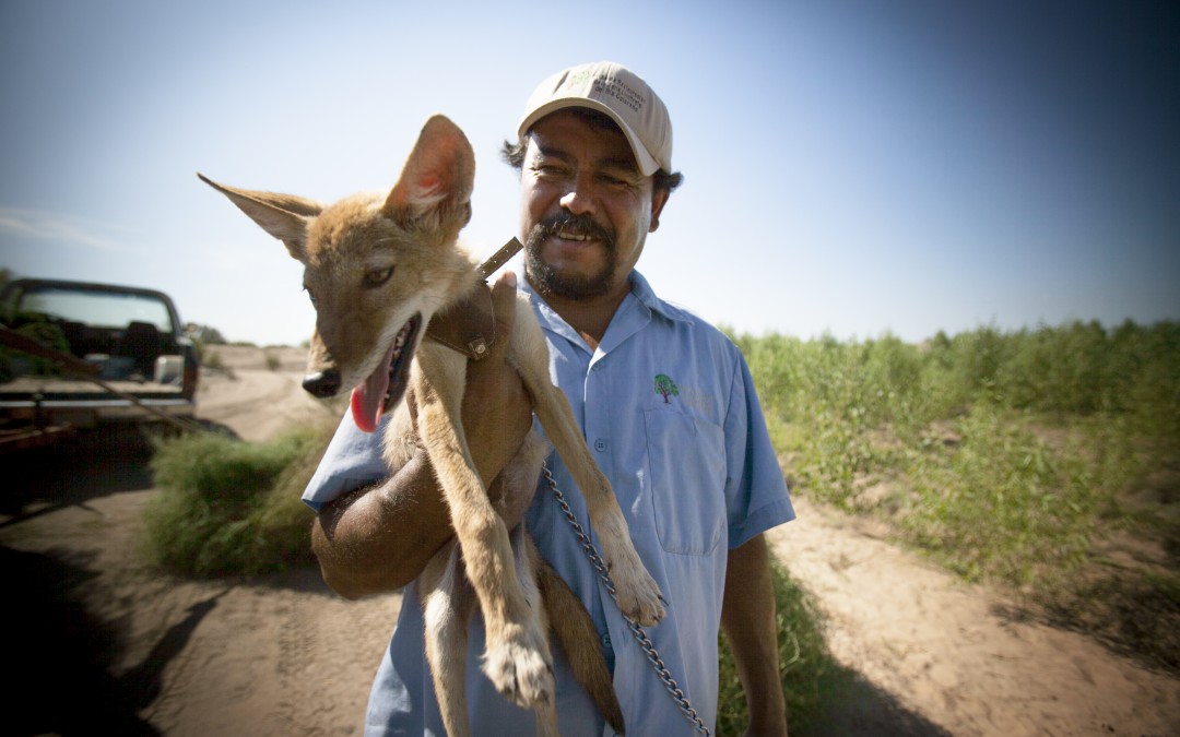
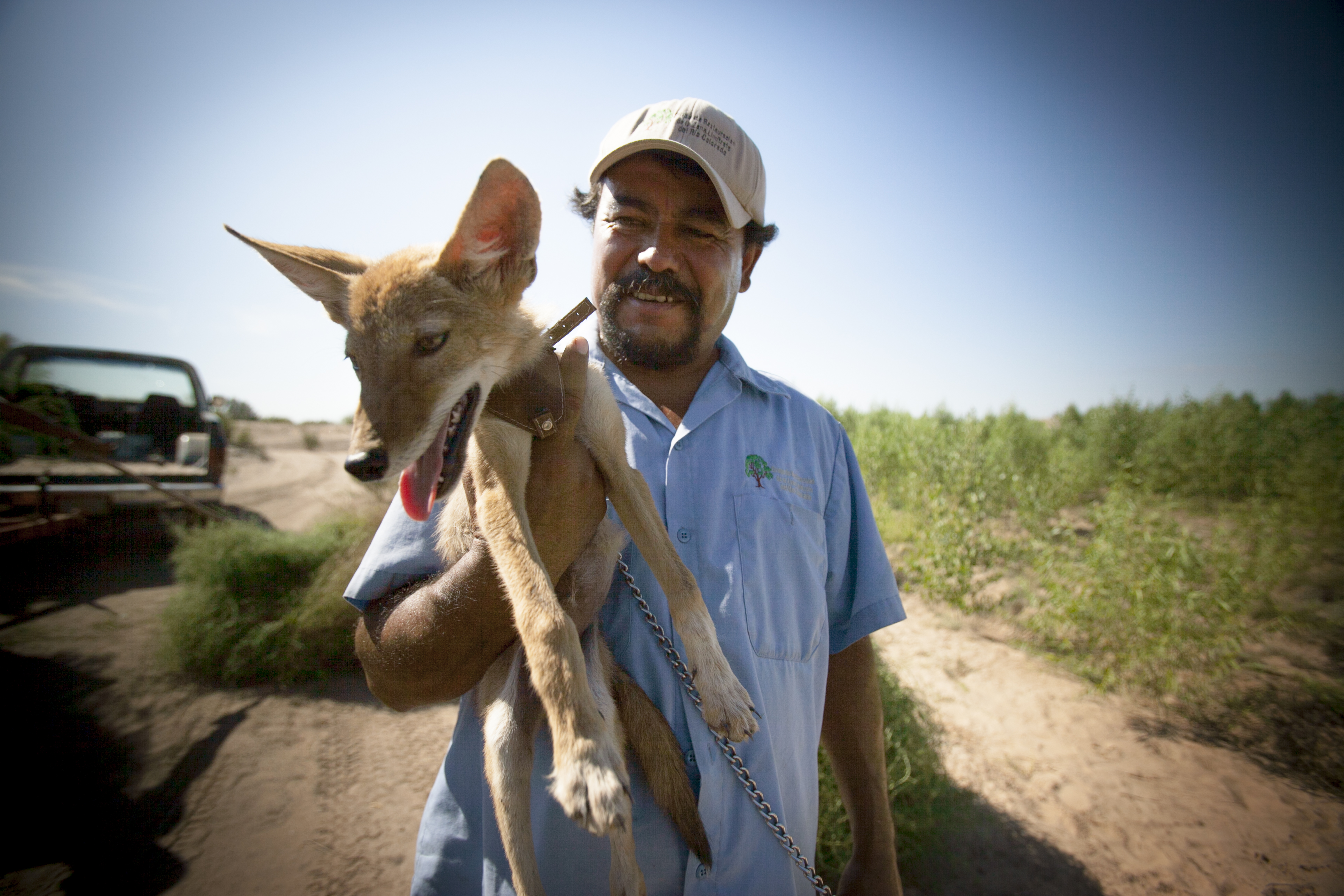
Héctor Patiño holds a coyote in Colonia Miguel Alemán, a reforestation area.
In this area of the river, salt cedar is removed to plant poplars, willows and mesquite.
The recovery of this area depends on Pronatura Noroeste, a conservation organization.
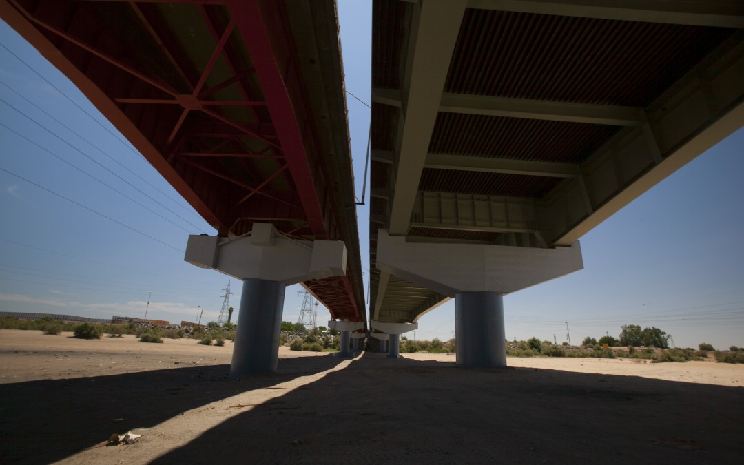
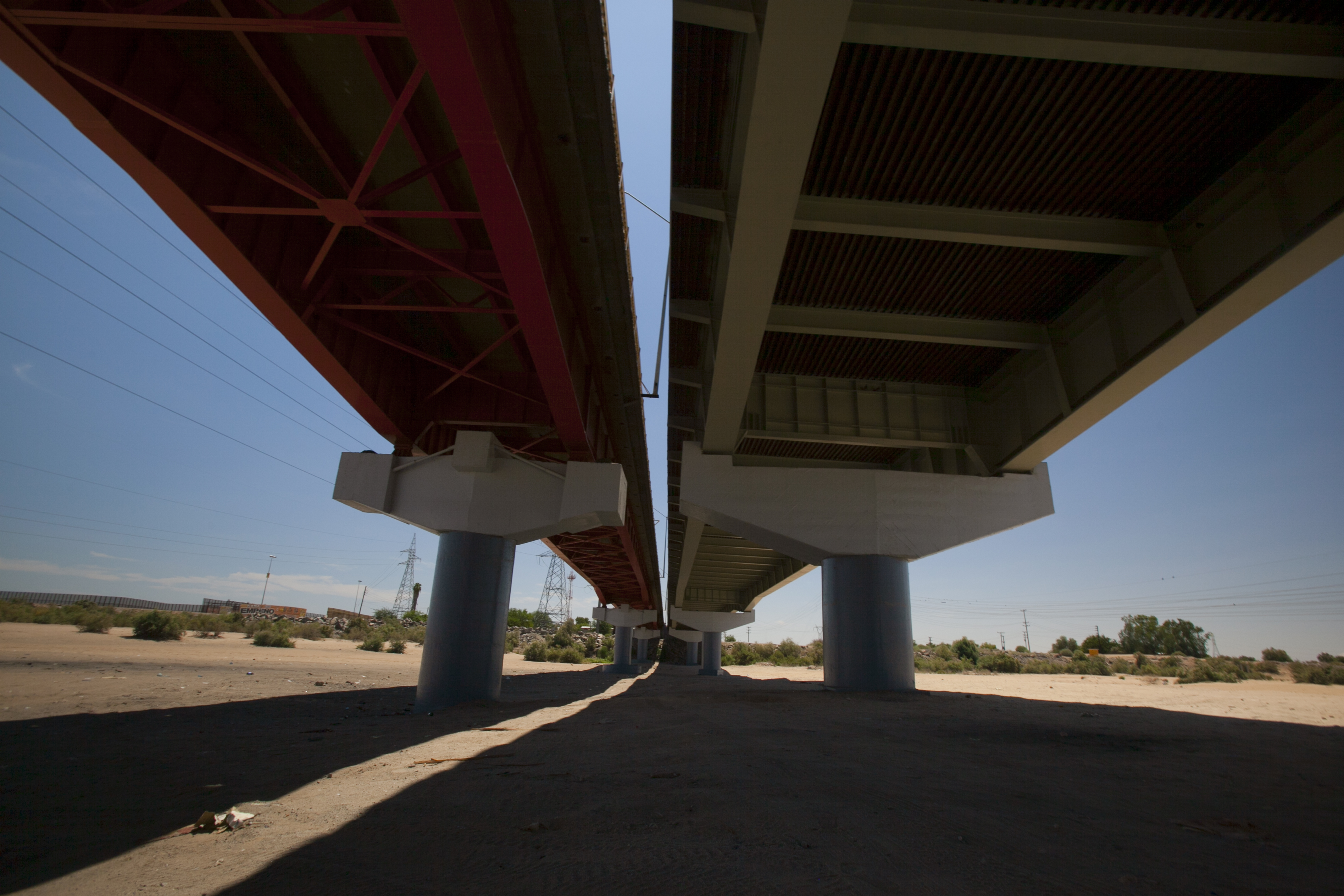
San Luis Rio Colorado's bridge stands on a completely dry riverbed.
This canal feeds into the Santa Clara wetland.
More than 14,800 acres have been recovered so far.
The Laguna Grande Restoration Area, established in part by the Sonoran Institute.
Thanks to the “flujo pulso” or pulse flow, natural germination is being produced in some areas.
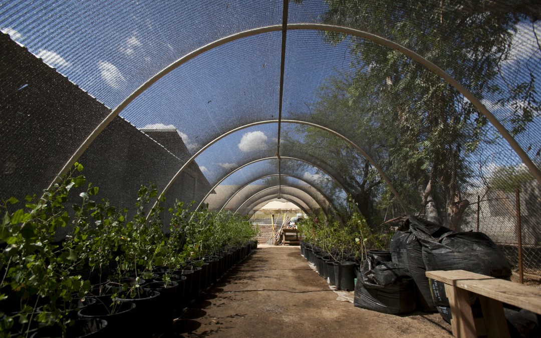
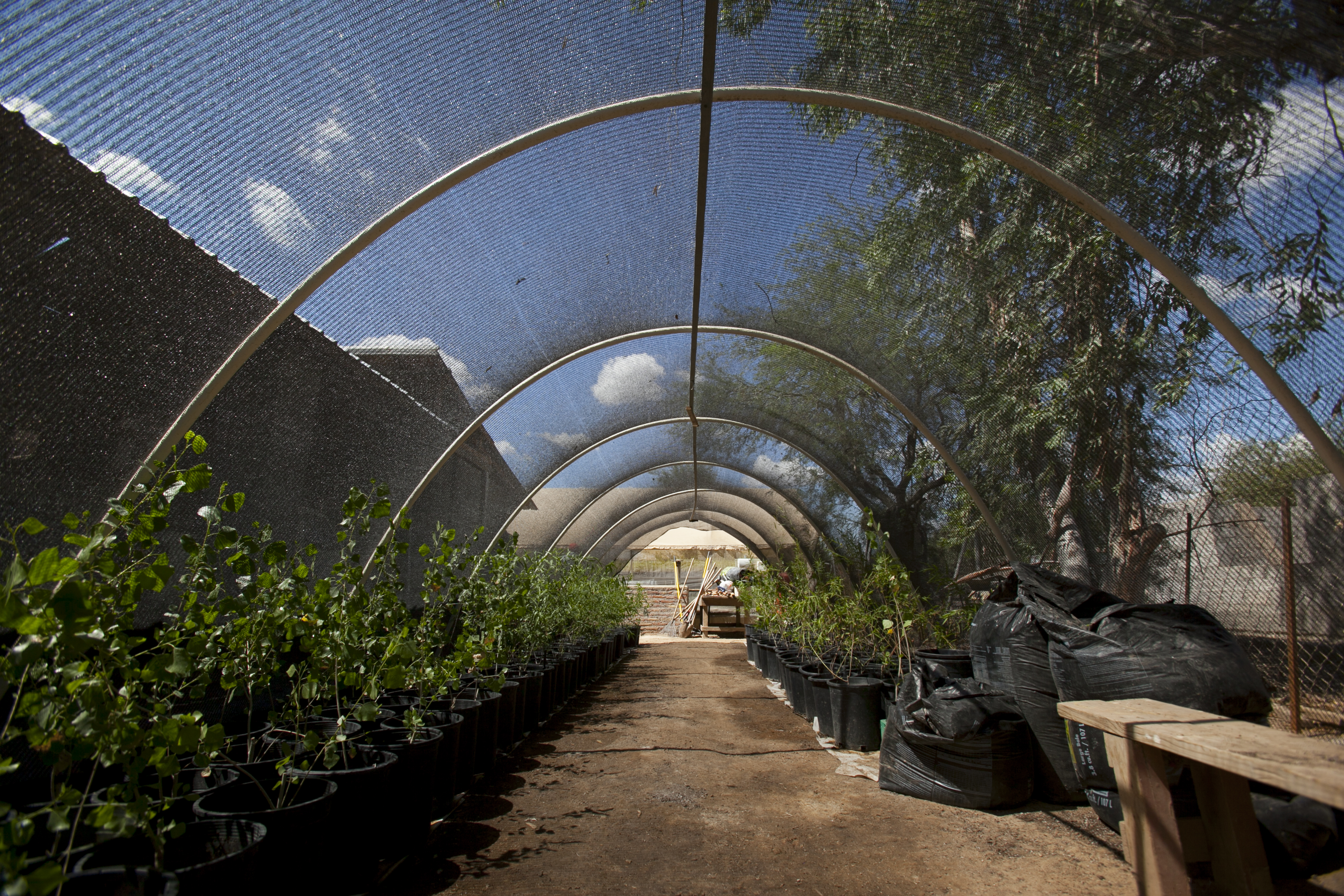
Nursery where seedlings for reforestation are prepared.
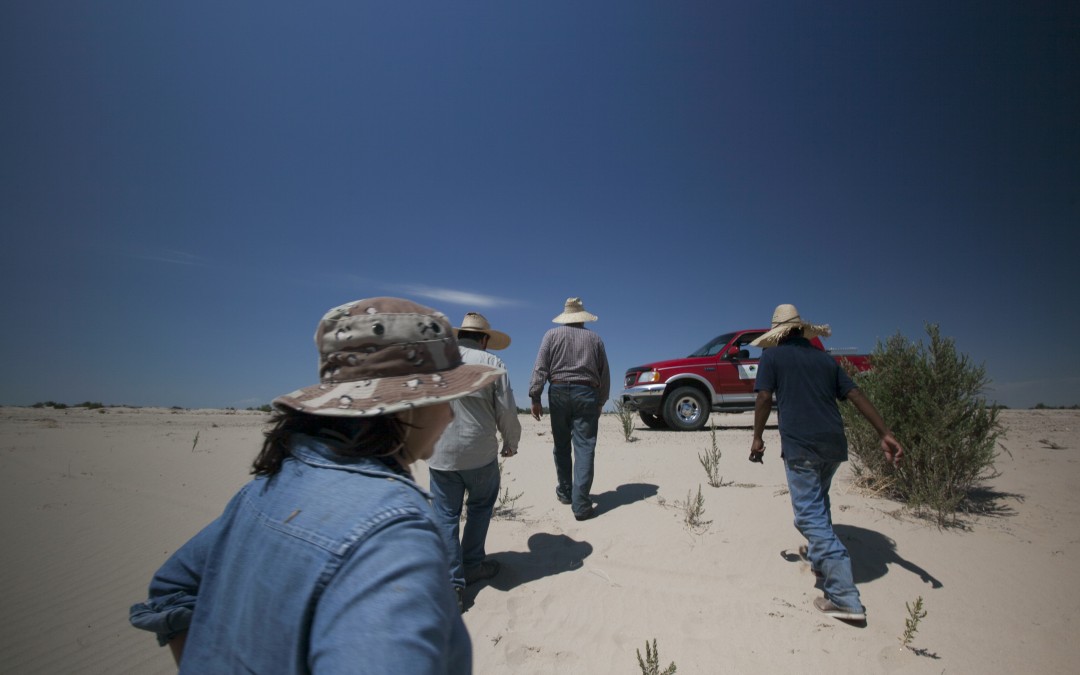
Reforestation efforts are providing work for the villagers of Francisco Murguía (or "49").


Under the extreme heat of summer it becomes easy to understand the meaning of water in this part of the Sonora Desert (here in San Luis a temperature of 137°F (58.5°C) was once recorded, something that would be the maximum temperature ever registered on the earth’s surface, even though it is not officially recognized as a record). Rather than follow the course of the Colorado, what a person feels like doing is jump right into the river. This seems difficult on the Mexican side, but on the other side of the border, in Yuma, Arizona the river becomes crowded with people beneath the railroad’s metal bridge as dusk approaches and the sun lets up a bit. For a few seconds everything becomes quiet, only to be interrupted by the happy sounds coming from the splashing and the Hispanic laughter, mixed in with the roar of the freight trains overhead. Another person who had gone to Yuma was Vianey Ávila’s mother, in order to harvest lettuce, much like other immigrants. “Most of the lettuce in the United States originates here,” states the daughter, who now works for the municipal government on a program for reclaiming the banks of the Colorado so as to restore its recreational uses. “The river is fundamental, it is where we go to get more than water in order to irrigate our lettuce.”
Before the construction of dams further north, the Colorado used to cause enormous floods. But its waters were gradually tamed as incredible dams such as Hoover Dam (1936), Navajo Dam (1962), Flaming Gorge Dam (1964, Glen Canyon Dam (1966)… For many these continue to be one of the great US engineering feats. By holding back the gigantic water reserves coming from the mountains prosperity would be taken to the desert lands of the Southwestern United States. And it would also change the river, which has been functioning more like a great canal since then. “They allow the water to come at the farmers’ request,” Ávila summarizes.
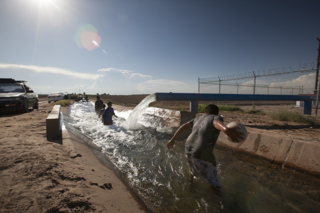
In Mexico, along a highway to the south of San Luis de Río Colorado, some youngsters are also enjoying a good swim. This water is the same as that used further upstream by the people of Yuma to cool off, only that there is no river in San Luis; they are dunking themselves in a narrow irrigation canal fed by the furious jet of water coming from a well. Despite the contrast, the laughter is the same and the water here serves to spread happiness.
How is the distribution of the Colorado’s water decided? On the other side of the border, in the Southwestern United States, the water is primarily for those possessing the oldest rights to the water, those who arrived first, regardless of the purpose of its use. That is why in Yuma the Indians of the Quechan Reservation have priority. Quite to the contrary, in Mexico there is a move to address how water is to be distributed in a fair way, giving priority to supplying the population, just in case in the coming years the drought should impose cutbacks in the distribution of the river’s water. This is a possibility that becomes less and less remote.
Between March 23 and May 18 of 2014, one of the red floodgates of the Morelos Dam was opened, and again the Colorado was allowed to flow toward the sea, for the first time in 15 years. It was a reason to celebrate. Osvel cannot forget the roar made by the water as it was released. “It is quite impressive to see a river that was totally dry a few days before now teeming with fish,” the Mexican biologist recalls. During the so-called ‘pulse flow’, a sort of gigantic hydrological electroshock meant as an attempt to revive the river’s ecosystems, 130 million cubic meters (some 6.5 million tanker trucks) of Colorado river water were released, thanks to the support consisting of three equal parts provided by the United States, Mexico and conservation organizations. The case of the latter turned out to be surprising, given that they had launched a fundraising initiative through Raise the River in order to purchase the water rights in the Mexicali valley. In order to complete the plan slated to go until 2017 there is a need for 10 million dollars; however, more than 9.3 million has been raised already.
More than a year later, the Morelos Dam floodgates are again sealed tight. The agreement to try to reclaim the Delta is part of Minute 319 of the US-Mexico Water Treaty, which assumed a change of focus in the management of this river basin for the period 2012-2017. This document recognizes the need to allow for water to be used for environmental purposes and sets the ground for the possibility of reducing the portion to be shared by each country in the event of a reduction in the level of Lake Mead, the Colorado River’s largest reservoir and the largest artificial lake in the United States by capacity. “Finally, there is a conceptual change, we now know the river is not unlimited and that we have to take care of this resource,” Hinojosa points out. “The doubt remains as to whether this may be too late.”
Going further downstream to the south, some three miles short of the sea, one finds the Ciénaga Santa Clara wetlands, a jewel of a place where one sees marshland birds such as the Yuma clapper rail, the Virginia rail or the California black rail. With nearly 14,000 acres (6,000 hectares) of reeds and open water, this is the largest wetland in the Delta, which does not cease to be paradoxical because it is disconnected from the river. The water that sustains this oasis comes from the Colorado, but not from its main course, but rather from the lettuce fields of Yuma. This has to do with yet one more incredible turn taken by every drop of water in this basin.
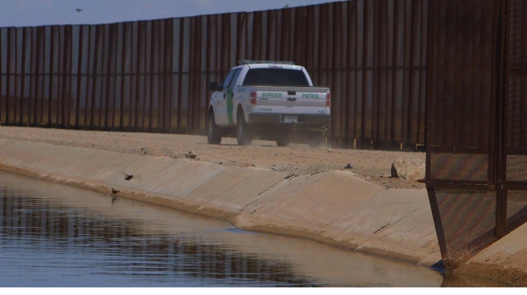
The key is to be found in a canal being patrolled by an SUV, next to the red barrier along the border that crosses over the dry riverbed on the bridge at San Luis del Río Colorado. This concrete structure that penetrates into Mexican soil was built by the US as way to dispose of the drainage from the agricultural fields of Yuma, Wellton and Mohawk. This water is much too briny to be used or to be included in the distribution share for delivery to Mexico, the reason why in this case it is preferable to allow it to flow to the ocean. Or that is what was expected by the engineers who made a mistake in their calculations. They designed a canal that stops more than 12 miles from the sea, thinking that the outflow would continue only along the flood plain. But instead of that, one of the most valuable spaces for nature in the Delta made a comeback (sometimes it is good not to be so efficient).
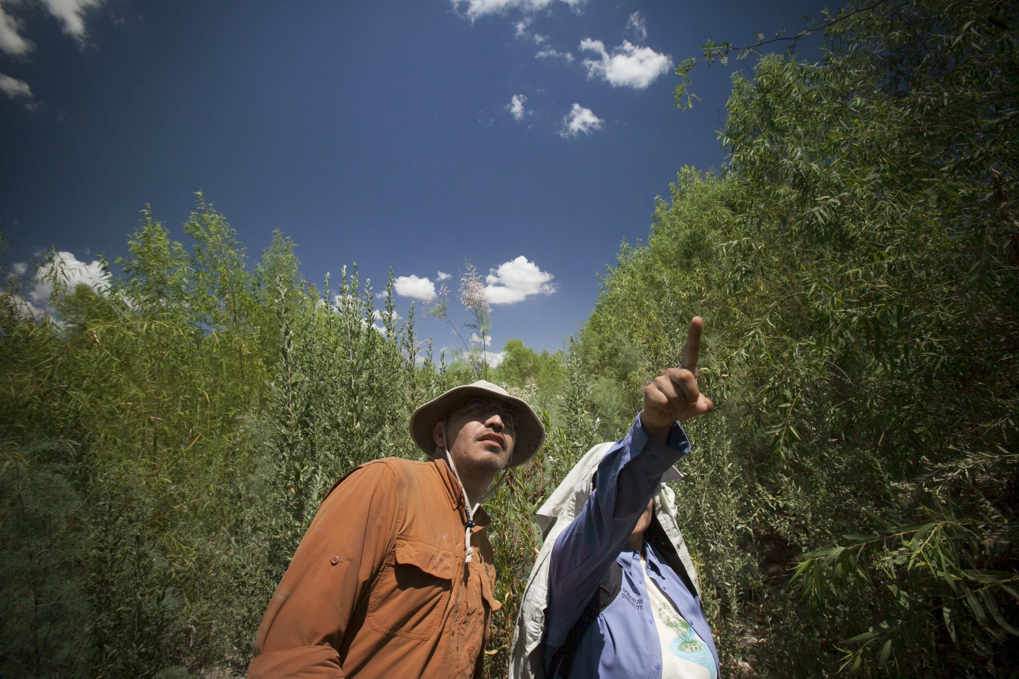
Just like the subterranean waters and the percolations from farm activity, this artificial assistance that arrives by way of pipelines and canals linked to the river also becomes indispensable for reclaiming other parts of the Colorado. It is a different way of focus on nature, but as stated by Francisco Zamora, Director of the Colorado River Delta Program of the Sonoran Institute, “There is no other solution. We have had to adapt ourselves to natural conditions and to the peculiar administrative management of this basin.” In fact, they no longer find it interesting to reopen the Morelos Dam floodgates in order to accomplish new reanimation discharges along the main riverbed. Instead of that, they consider it more effective to use irrigation conduits in order to direct water transfusions to strategic points where they might have a greater impact.
“If you try to find out from a book how rivers function,” comments Zamora, “well, yes, the Colorado is really a strange case, because of what we have done to it.” Everything considered, even though it may seem difficult to have a regular riverbed again on the Mexican side (it would have to rain a whole lot for there to be extra water to be shared again), there has been current success in reviving certain segments, such as at Colonia Miguel Alemán or at Laguna Grande. In recent years the vegetation mass has been increasing, and one can see numerous cottonwoods, willows and mesquites, and some water meandering, and there has even been some success in having nature recover on its own in some places, as it germinates plants in a natural way.
Conservation organizations have calculated that between 1 and 2 percent of the basin’s total flow would be sufficient for restoring the Delta. Nevertheless, the challenge is not just reclaiming the habitat of the Yuma clapper rail, but rather to make the Colorado’s complete hydrological system viable again. “The biggest challenge in this basin is how to prevent a water crisis,” thus concludes Hinojosa, as he stresses what a drastic reduction in the water supply would entail for these desert lands. “If we lose the river, we run the risk of losing the border region’s entire economic system.”
Emanating from the Ciénaga de Santa Clara wetlands, there is some water that indeed makes its way to the tidewaters of the Gulf of California. In some way, certain disperse remnants of the Colorado finally merge with the sea; even though they have very little to do with a real river.
San Luis Rio Colorado is the only town that carries the river’s name. Ironically, the river no longer flows through it.
We part company with Hinojosa near the San Luis border post, after partaking of some fish tacos and a swim in an irrigation canal. In order to tell the Colorado’s story we have begun at its end, but now we have to follow its course north, going against the current, following the river of immigration. The next stop is in California, at the home of the Sánchez family, where we will prove that water can also turn into a nightmare.